Archives for : July 2024
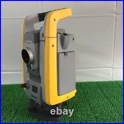
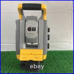
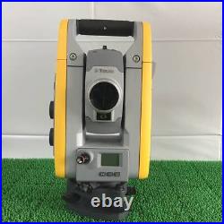
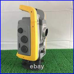
Building construction, civil engineering, or surveying and mapping professionals benefit from the TS07 helping them solve their daily professional challenges and tasks: Managing directors of construction departments benefit from minimal downtime of your survey crews to deliver projects under budget and in time. Survey managers can rely on the highest product durability in the market, which increases your planning certainty. Surveyors work faster by measuring more points per day with less measurement errors and rework. Leica FlexLine: The new generation of manual total stations The new Leica FlexLine series is based on a proven product concept, revolutionising the world of measurement and survey for nearly 200 years. Unlike any other manual total stations in the market, Leica Geosystems manual total stations focus on providing the highest quality, the lowest total cost of ownership and the longest durability in the industry, enabling users to work with purpose-driven solutions for the best performance results. AutoHeight: Revolutionising instrument height measurement The TS07 offers the world’s first AutoHeight feature as an option. AutoHeight enables the instrument to automatically measure, read and set its instrument height. Prevent time consuming manual effort and eliminate critical errors during the instrument setup when this revolutionary feature uses a laser from the instrument to measure to the ground and automatically passes the measurement to the software. Leica FlexField software: Comprehensive, intuitive and easy to use The TS07 is equipped with the Leica FlexField software, an intuitive, easy-to-use and familiar software. Guided workflows and easy to understand graphics and icons ensure a low learning curve when working in the field. The software makes the interpretation of measurement values or text no longer necessary and guarantees a faster and simple operation when you need it. With its pinpoint distance measurement system, you will be able to measure to both prisms and any surfaces. Service and support: Global, local and best-in-class Now with optional mobile internet access the TS03 connects to the office for a seamless dataflow and to Leica Geoystems trusted global service and support at the touch of a button. With the Active Customer Care program and myWorld customer portal, users have access to latest software updates, service and support as well as to mySecurity. With mySecurity activated, the locking mechanism ensures the device is disabled and can no longer be used.
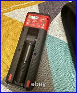
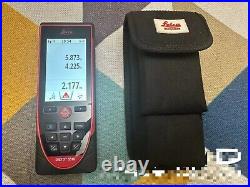
1PCS Leica S910 Laser Rangefinder 300m High Precision Handheld Total Station.
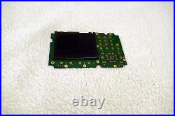
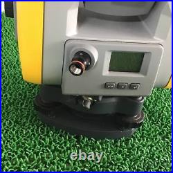
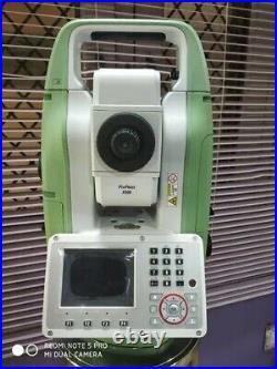
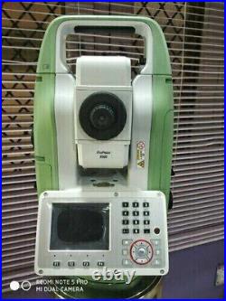
Leica keyboard for TS-07 total station.
Check out other items on our store. Always let us know the item what you are looking for. We will do our best to find it for you! When we use Japan Post, we will tell you before hand. If you have changed your address, we will not be responsible for lost package. INTERNATIONAL BUYERS _ PLEASE NOTE. International government regulations prohibit such behavior r.
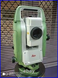
Brand New Leica total station fiexline TS03 5 second with standard Accessories. The Leica total Model TS03 is a professional-grade total station that is perfect for surveying and measuring tasks. With its precision and accuracy, it can help you achieve exceptional results in your work. This unit comes with standard accessories that make it easy to use and operate. Made in Switzerland, this total station is built to last and is ideal for businesses and industries that require reliable and high-quality equipment. Its brand name, Leica, is synonymous with precision and excellence in the field of surveying and measuring. Get your hands on this unit and experience the difference it can make in your work. Leica Flexline TS03 Manual Total Station. Leica Flexline TS03 is a manual total station, enabling you to carry out mid- to high-accuracy survey and stakeout tasks easily and efficiently. Building construction, civil engineering, or surveying and mapping professionals benefit from the TS03 helping them solve their daily professional challenges and tasks. Managing directors of construction departments benefit from minimal downtime of your survey crews to deliver projects under budget and in time. Survey managers can rely on the highest product durability in the market, which increases your planning certainty. Surveyors work faster by measuring more points per day with less measurement errors and rework. Leica Flexline: The new generation of manual total stations. The new Leica Flexline series is based on a proven product concept, revolutionising the world of measurement and survey for nearly 200 years. Unlike any other manual total stations in the market, Leica Geosystems manual total stations focus on providing the highest quality, the lowest total cost of ownership and the longest durability in the industry, enabling users to work with purpose-driven solutions for the best performance results. Auto height: Revolutionising instrument height measurement. The TS07 offers the world’s first Auto height feature as an option. Auto height enables the instrument to automatically measure, read and set its instrument height. Prevent time consuming manual effort and eliminate critical errors during the instrument setup when this revolutionary feature uses a laser from the instrument to measure to the ground and automatically passes the measurement to the software. Leica FlexField software: Comprehensive, intuitive and easy to use. The TS03 is equipped with the Leica FlexField software, an intuitive, easy-to-use and familiar software. Guided workflows and easy to understand graphics and icons ensure a low learning curve when working in the field. The software makes the interpretation of measurement values or text no longer necessary and guarantees a faster and simple operation when you need it. With its pinpoint distance measurement system, you will be able to measure to both prisms and any surfaces. Service and support: Global, local and best-in-class. Now with optional mobile internet access the TS03 connects to the office for a seamless data flow and to Leica Geoystems trusted global service and support at the touch of a button. With the Active Customer Care program and myWorld customer portal, users have access to latest software updates, service and support as well as to my security. With mySecurity activated, the locking mechanism ensures the device is disabled and can no longer be used.
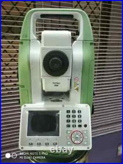
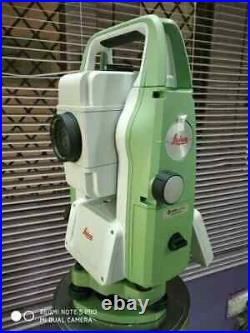
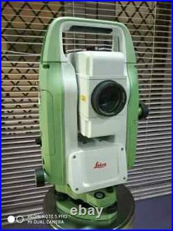
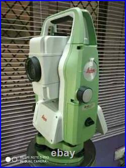
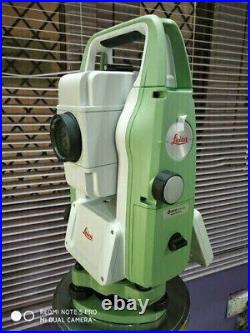
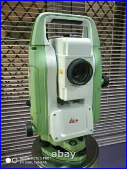
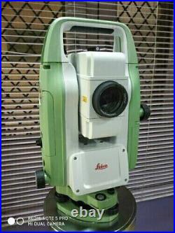
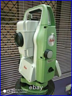
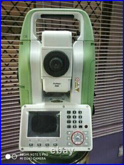
Leica FlexLine TS07 Manual Total Station. Leica FlexLine TS07 is a manual total station, enabling you to carry out mid- to high-accuracy survey and stakeout tasks easily and efficiently. Building construction, civil engineering, or surveying and mapping professionals benefit from the TS07 helping them solve their daily professional challenges and tasks. Managing directors of construction departments benefit from minimal downtime of your survey crews to deliver projects under budget and in time. Survey managers can rely on the highest product durability in the market, which increases your planning certainty. Surveyors work faster by measuring more points per day with less measurement errors and rework. Leica FlexLine: The new generation of manual total stations. The new Leica FlexLine series is based on a proven product concept, revolutionising the world of measurement and survey for nearly 200 years. Unlike any other manual total stations in the market, Leica Geosystems manual total stations focus on providing the highest quality, the lowest total cost of ownership and the longest durability in the industry, enabling users to work with purpose-driven solutions for the best performance results. AutoHeight: Revolutionising instrument height measurement. The TS07 offers the world’s first AutoHeight feature as an option. AutoHeight enables the instrument to automatically measure, read and set its instrument height. Prevent time consuming manual effort and eliminate critical errors during the instrument setup when this revolutionary feature uses a laser from the instrument to measure to the ground and automatically passes the measurement to the software. Leica FlexField software: Comprehensive, intuitive and easy to use. The TS07 is equipped with the Leica FlexField software, an intuitive, easy-to-use and familiar software. Guided workflows and easy to understand graphics and icons ensure a low learning curve when working in the field. The software makes the interpretation of measurement values or text no longer necessary and guarantees a faster and simple operation when you need it. With its pinpoint distance measurement system, you will be able to measure to both prisms and any surfaces. Service and support: Global, local and best-in-class. Now with optional mobile internet access the TS07 connects to the office for a seamless dataflow and to Leica Geoystems trusted global service and support at the touch of a button. With the Active Customer Care program and myWorld customer portal, users have access to latest software updates, service and support as well as to mySecurity. With mySecurity activated, the locking mechanism ensures the device is disabled and can no longer be used.
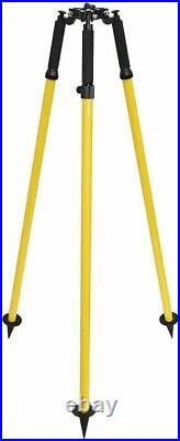
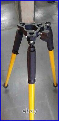
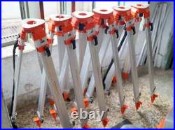
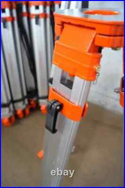
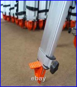
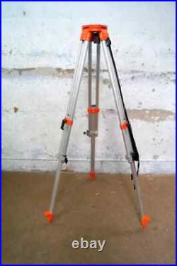
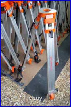
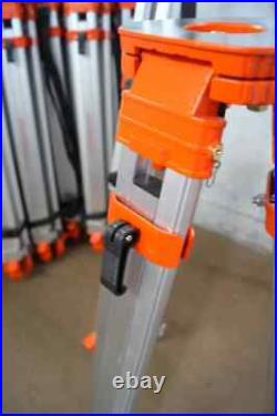
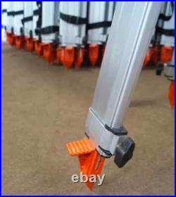
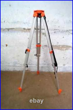
Our tripod stands are designed to provide maximum stability and strength. Tripod stand can be used to support surveying instruments such as total stations, theodolites, transits and levels. The surveyor can anchor the legs of the tripod in soil securely or on a marked pavement and then adjust the leg lengths to bring the tripod’s head to a convenient level. Once the Tripod stand on the tripod is placed securely, it can be positioned by tightening the mounting screw. These tripod stand have been manufactured raw materials such as aluminum and brass. Height : 39 inches approx. Extended Height : 63 inches approx. Weight : 3.25kg approx. Thread: 5/8-11 standard size use for auto level and total stations. Your feedback is important for us, so please do leave your feedback. Look Photos For Actual Image Of Product. All Work is Hand Made.
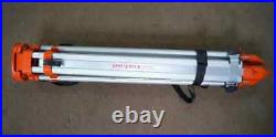
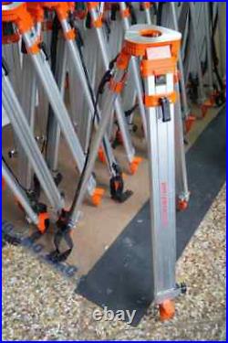
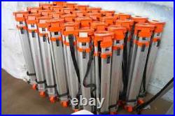
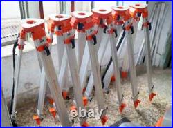
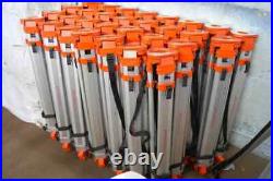
Lot Of 10 Pcs In lot. Our tripod stands are designed to provide maximum stability and strength. Tripod stand can be used to support surveying instruments such as total stations, theodolites, transits and levels. The surveyor can anchor the legs of the tripod in soil securely or on a marked pavement and then adjust the leg lengths to bring the tripod’s head to a convenient level. Once the Tripod stand on the tripod is placed securely, it can be positioned by tightening the mounting screw. These tripod stand have been manufactured raw materials such as aluminum and brass. Height : 39 inches approx. Extended Height : 63 inches approx. Weight : 3.25kg approx. Thread: 5/8-11 standard size use for auto level and total stations. Your feedback is important for us, so please do leave your feedback. Look Photos For Actual Image Of Product. All Work is Hand Made.