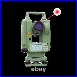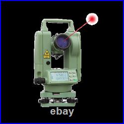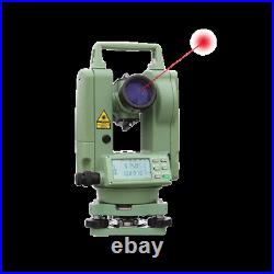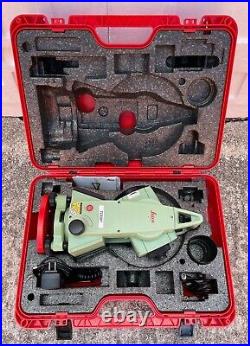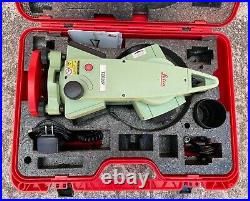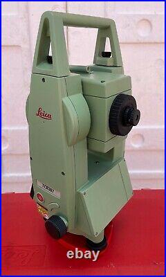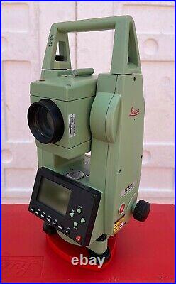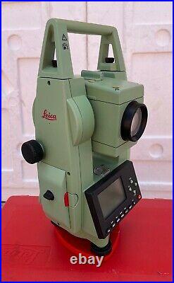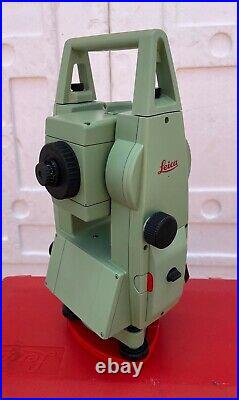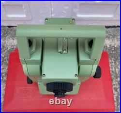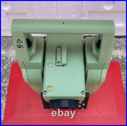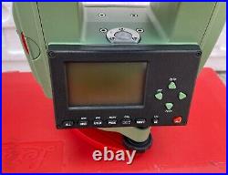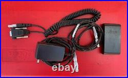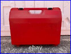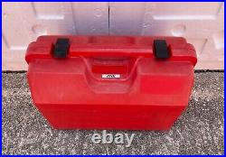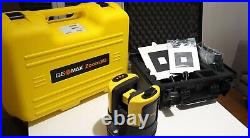
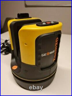
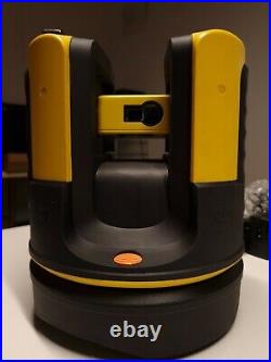
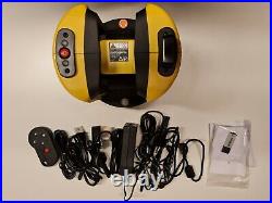
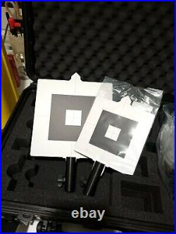
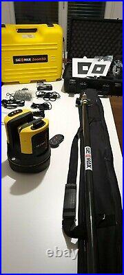
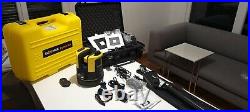
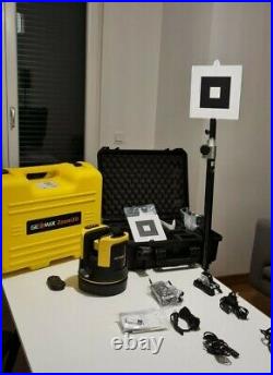
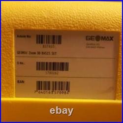

GeoMax Zoom3D Robotic Total Station – Leica 3D Disto Equivalent. Upgrade to an innovative and user-friendly robotic total station. Simply position it and turn it on. The Zoom3D will measure and layout any project site. With simple configuration and equipped with an auto levelling feature, the Zoom3D is a plugand-play solution that speeds up your daily tasks. The Zoom3D is the ideal partner for all daily tasks in any small construction site, from as-built survey to the stakeout. Its user-fiendly onboard software helps with a wide range of indoor applications, such as measuring, setting out or plumbing points. For your outdoor tasks, the micro robotic solution is equipped with target recognition technology that automatically and easily centres and follows the target, allowing surveys and stakeouts in small construction sites. The GeoMax-Zoom3D is an easy-to-use and fast 3D measuring instrument. The Zoom3D is ideal for indoor as well as outdoor applications. Easy levelling, plumbing points and staking out – the Zoom3D unique and user-friendly onboard software comes with a full set of features that will speed up your interior applications. Get fast and exact results can be easily exported in the most common data format and all at the best-price-to performance. Plug and Play Solution. 3D measurements have never been so easy and fast. With simple configuration and selflevelling feature, the Zoom3D will speed up your daily work indoors and outdoor. Get Started with The Press of 2 Buttons: 1. Place your Zoom3D on the floor or on the tripod 2. The Zoom3D automatically levels 3. Connect it to your tablet/laptop and start working! Save time and resources with the Zoom3D Robotic Solution for all your one-man operations. Its powerful software is equipped with a target recognition technology, automatically aiming and tracking the target mounted on a standard TPS pole. The Zoom3D is the ideal partner for all daily tasks in any small construction site for all daily tasks, from as-built survey to the stake out. 3D Measuring: Press just one button to take 3Dmeasurements. The Zoom3D software will allow you to visualize and rotate your 3D survey. Camera: Easily aim and precisely zoom in on a point with the tablet and its 5MP camera. Target Recognition: With the Zoom3D target recognition technology you can measure and stake out using a pole for all your one-man operations. Self-Levelling: No matter where you place your Zoom3D, its self-levelling feature will level automatically and start to measure. Millimeter Accuracy: Error-free results in every working condition. WI-FI: Wi-Fi connection in all Windows devices up to 50 m. Job Site Checks: Ideal for all daily construction site tasks. The software includes a full set of tools to check distances, slopes, angles, directly in the construction site. Check Planes: Using the pole with the target you can easily calculate the distance from the pole and a horizontal or sloped reference plane. Layout: X-PAD Zoom3D includes an easy-to-use but powerful stake out tool for the site layout. Using the target you can stake out with only one operator. Volume: X-PAD Zoom3D enables you to calculate a volume and the cut/fill portions, directly in the field. Area: In real time measure and draw a surface to know directly in the field what is a specific area. Levelling: Forget about spirit levels and measuring tapes Zoom3D will level and transfer the measurement from wall to wall. Plumbing: Measuring plumbing points with the Zoom 3D has never been so easy. Auto-Measure: Aim precisely to an edge or a corner. Place the instrument nearby and X-PAD 3D automatically measure the exact point. Line Scan- Zoom3D automatically measures horizontally, vertically and sloped sections. Surface: Define the boundaries and the Zoom3D automatically measures to a defined step on the surface you have defined. Field of View and Accuracy. FoV:Horizontal 360°; vertical 250°. Measurement range: 05 – 50 m. Laser class: Class 2. Diameter of laser dot (at distance): 10 m: -7 mm x 7 mm 30 m: -9 mm × 15 mm. The Distance Accuracy (3D). 1mm 2mm 4 mm. Keys/user interface: 1 on / off button. Interfaces: USB type B, power supply power pack. Zoom (magnification) / 1x / 3.40 m x 2.14 m. 4x / 085 m x 0.54 m. 8x / 0.42 m x 0.27 m. Cable: USB:Micro-B USB&type a;WLAN. Wireless: 50 m range. Internal battery: Li-lon battery 14.4 V / 63 Wh. External power: 24 VDC / 2.5A, charging time 8h. Operating time: 8 hours. Dimensions: Height 215.5 mm, Width 186.6 mm. Weight: 2.8 kg (6.17 Ib). Operating temp: – 10°C to 50°C (14°F to 122°F). Storage temp: -25°C to 70°C (-13°F to 158°F). Battery:1 AA, 1.5 V. Accuracy is specified at 20°C (68°F). 1 x GeoMax Zoom3D 1 x Hard case 1 x RM 100 remote Control unit 1 x Power supply 1 x Charger 1 x ext Wi-Fi USB stick 1 x USB cable 1 x Target, hard case 2 x Targets (1) 840431 Z3DTB Zoom3D target big, (1) 840430 ZDTS Zoom3D target small. Tablet/Laptop is not included in the offer. This item is in the category “Business & Industrial\Test, Measurement & Inspection\Levels & Surveying Equipment\Total Stations & Accessories”. The seller is “voyager51usa” and is located in this country: US. This item can be shipped to North, South, or Latin America, all countries in Europe.
- Model: Zoom 3D Disto – Robotic Total Station
- Modified Item: No
- Product: Robotic Total Station, Total Station, GPS Receiver, Laser Scanner
- Custom Bundle: Yes
- Brand: Geomax
- Bundle Description: Robotic Bundle with Target Set and Geomax XPad Software

