Archives for : r400
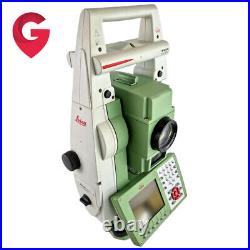
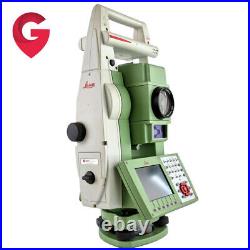
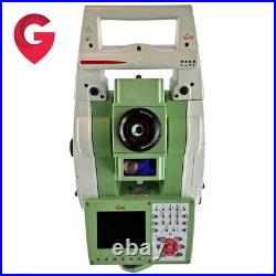
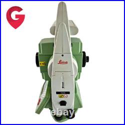
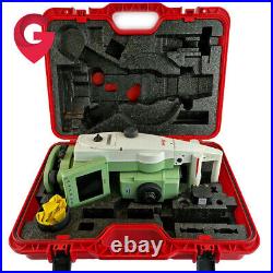
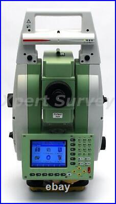
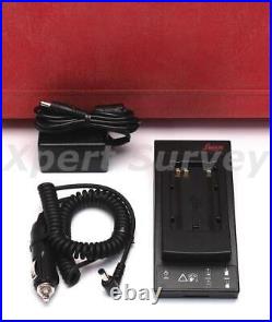
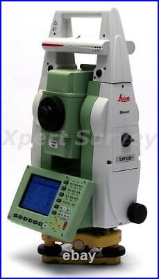
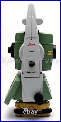
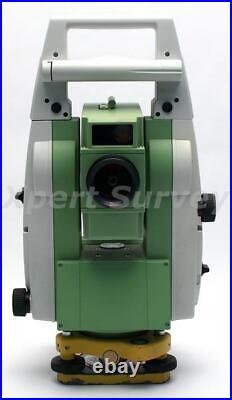
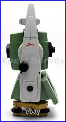
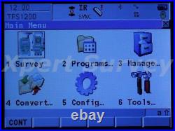
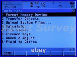
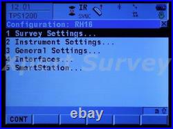
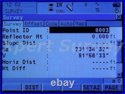
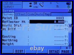
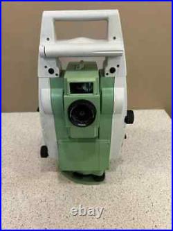
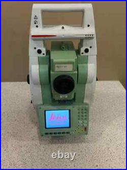
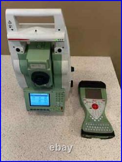
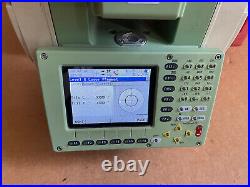
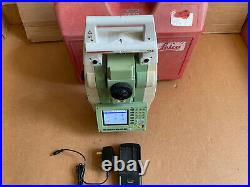
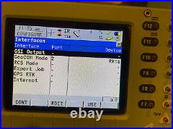
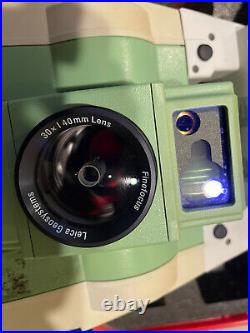
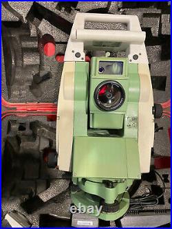
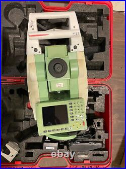
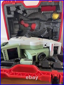
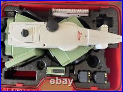
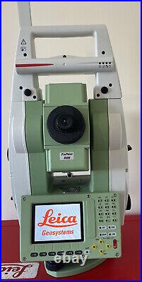
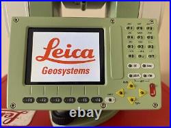
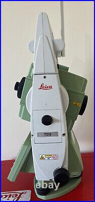
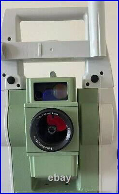
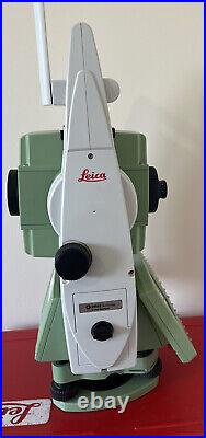
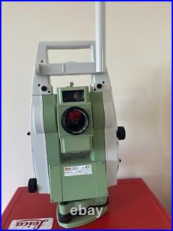
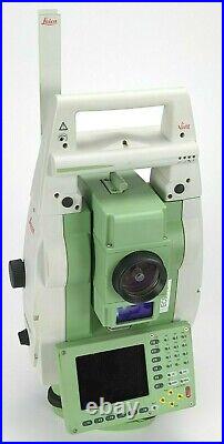
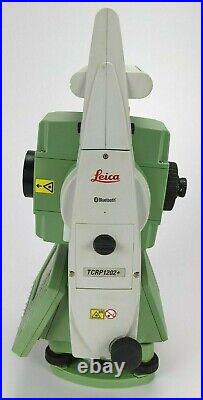
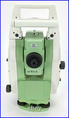
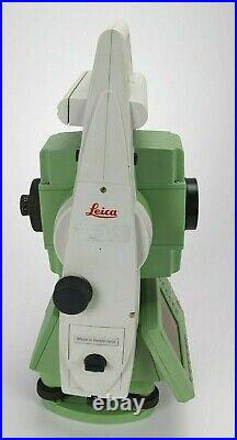
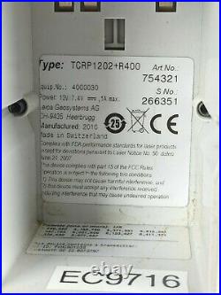
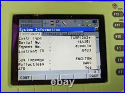
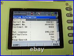
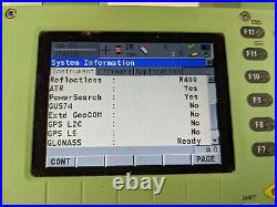
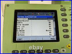
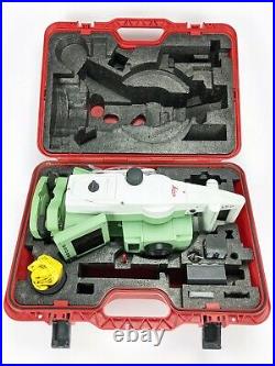
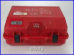
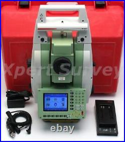
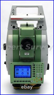
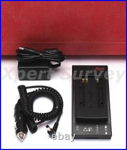
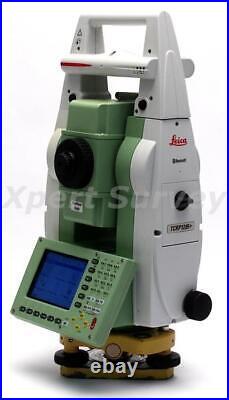
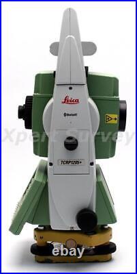
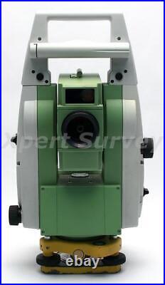
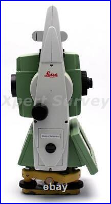
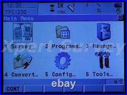
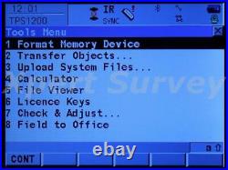
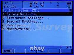
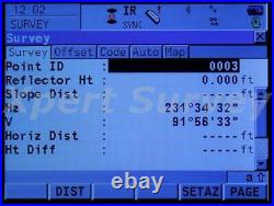
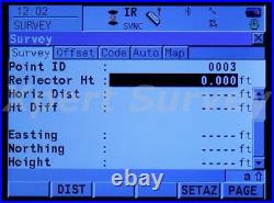
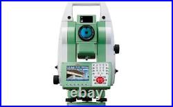
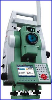
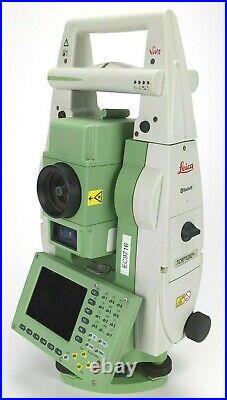
Leica TCRP1202+ R400 Robotic Survey Total Station w/ EDM/ATR/PS. In excellent working condition. Comes with everything shown. Only what you see in the photos. May be due for Calibration. The storage case has some writing on it. The instrument shows cosmetic signs of normal use. See photos for condition. Always stored in it’s case. The handle on the instrument is Type RH15 Art No. System Firmware 8.00. Telescope Firmware: 4.91.
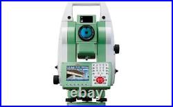
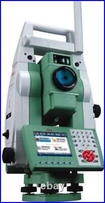
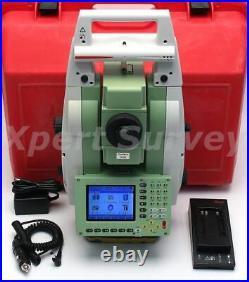
Michigan based company with a global presence. Offering New & Refurbished Total Stations, GPS / GNSS Base & Rovers, Radios, Antennas, Data Collectors, Grade & Pipe Lasers, Digital Levels, Magnetic Locators, Grade Control Systems, AgGPS Systems, Field Supplies, Accessories, Hand Tools & Safety Equipment! Leica TCRP1205+R400 5 Motorized Auto Target Total Station ID- X3386-L/T. Factory Calibrated Leica GKL211 Battery Charger Battery Pack AC Adapter/Charger DC Car Charger User Manual On CD Hard Carrying Case. Leica TCRP1205+R400 5 Motorized Auto Target Total Station – Calibrated By A Leica Service Center. Leica TRCP1205+R400 Specifications Table. Leica TRCP1205+R400 5 Motorized Auto Target Total Station. Measurements of high angles precise and accurate measurements long distance, supported for a quick and perfect systems Automatic aims at the prism. You will work faster, more rigorously and under less pressure. Intuitive interface, powerful database routines and programs loaded in total station: simplicity and identical in TPS and GPS. Easy viewing of entire surveyed area and immediate access to all measured data. You see exactly what you’ve done and what you’ve still to do. Configure and program the TPS1200 as you wish, for their applications, and export the infomation needed. TPS1200 total stations cover a range of models and options. Select the ones that suit you best. Use TPS1200 For Everything. Use TPS1200 total stations for surveying, engineering, stakeout, topo, monitoring etc. Combine them with GNSS. Benefit from huge productivity of System 1200. Find the prism automatically. PowerSearch finds reflectors within seconds no matter where they are. With PowerSearch activated, TPS1200 rotates and sends out a vertical laser fan. As soon as the fan strikes a prism TPS1200 stops rotating, ATR takes over and fine points – all fully automatically. Accuracy (standard deviation ISO 17123- 3). 5 (1.5 mgon). 0.1 (0.5 mgon). Working range: 4′ (0.07 gon) Setting accuracy: 1.5 (0.5 mgon) Method: centralized dual axis compensator. Distance measurement (IR) (Light haze, visibility about 20 km; or moderate sunlight, slight heat shimmer). 3000 m (10000 ft). 3 standard prisms (GPR1). 4500 m (14700 ft). 1500 m (5000 ft). 360° mini prism (GRZ101). 800 m (2600 ft). 1200 m (4000 ft). Reflector tape (60 mm x 60mm). 250 m (800 ft). Accuracy (standard deviation ISO 17123-4) / Measure time. Standard mode: 2 mm + 2 ppm / typ. 1.5 s Fast mode: 5 mm + 2 ppm / typ. 0.8 s Tracking mode: 5 mm + 2 ppm / typ. Principle: Phase measurement Type: Coaxial, infrared laser Carrier wave: 780 nm Measuring system: Special frequency system basis 100 MHz = 1.5 m. PinPoint reflectorless distance measurement (RL) (Object in shade, or sky overcast). 400m / 200m (Kodak Gray Card: 90% reflective / 18% / 18% reflective). Shortest / Longest measureable distanec: 1.5m / 1000m-7500m. Accuracy / Measurement Time (standard deviation, ISO 17123-4) (object in shade, sky overcast). 500m: 4mm + 2ppm / typ. 12s Long Range: 5mm + 2ppm / typ. At 30m: approx 7mm x 10mm At 50m: approx 8mm x 20mm. PinPoint R400: system analyzer (coaxial, visible red laser). Automatic Target Recognition (ATR). Range ATR / Lock Mode. Standard prism (GPR1): 1000 m (3300 ft) / 800 m (2600 ft) 360° prism (GRZ4): 600 m (2000 ft) / 500 m (1600 ft) 360° mini prism (GRZ101): 350 m (1150 ft) / 300 m (1000 ft) Mini prism (GMP101): 500 m (1600 ft) / 400 m (1300 ft) Reflector tape (60 mm x 60mm): 55 m (175ft) / – Shortest measuring distance: 1.5 m / 5 m. Accuracy / Measure time. Maximum speed (LOCK mode). Tangential (standard mode): 5 m / s at 20 m, 25 m / s at 100 m Radial (tracking mode): 5 m / s. Search time in field of view: Typ. 3 s Field of view: 1° 30′ (1.66 gon) Definable search windows: Yes. Principle: Digital image processing Type: infrared laser. Standard prism (GPR1): 200 m (650 ft) 360° prism (GRZ4): 200 m (650 ft) (perfectly aligned to the instrument) Mini prism (GMP101): 100 m (330 ft) Shortest measuring distance: 1.5 m. Principle: Digital signal processing Type: infrared laser. Working range: 5 m – 150 m. Positioning accuracy: 5 cm at 100 m. Magnification: 30 x Free objective aperture: 40 mm Field of view: 1°30′ (1.66 gon) / 2.7 m at 100 m Focusing range: 1.7 m to infinity. Display: ¼ VGA (320240 pixels), graphic LCD, illumination, touch screen (optional) Keyboard: 34 keys (12 function keys, 12 alphanumeric keys), illumination Angle display: 360°’ , 360° decimal, 400 gon, 6400 mil, V% Distance display: meter, int. Ft/inch, US ft, US ft/inch Position: face I standard / face II optional. Internal memory: 32 MB (optional) Memory card: CompactFlash cards (32 MB and 256 MB) Number of data records: 1750 / MB Interface: RS232, BluetoothTM (optional). Centering accuracy: 1.5 mm at 1.5 m (deviation from plumb line) Laser dot diameter: 2.5 mm at 1.5 m. Number of drives: 1 horizontal / 1 vertical. Sensitivity: 6′ / 2 mm. Type: Lithium-Ion Voltage: 7.4 V Capacity: 3.8 Ah Operating time: Typ. 6 – 8 h. Tilting axis height: 196 mm above tribrach Height: 345 mm Width: 226 mm Length: 203 mm. Total station: 4.8 – 5.5 kg (depending on type and options) Battery (GEB221): 0.2 kg Tribrach (GDF121): 0.8 kg. Working temperature range: -20°C to +50°C Storage temperature range: -40°C to +70°C Dust / water (IEC 60529): IP54 Humidity: 95%, non-condensing. (Certain orders may take longer for processing due to comprehensive final service inspections). Sell Smarter with Kyozou. Inventory and Ecommerce Management. This item is in the category “Business & Industrial\Test, Measurement & Inspection\Levels & Surveying Equipment\Total Stations & Accessories”. The seller is “gps_land_survey_and_mapping_equipment” and is located in this country: US. This item can be shipped worldwide.
- Brand: Leica
- MPN: TCRP1205+R400
- Model: TCRP1205+R400
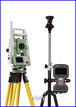
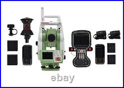
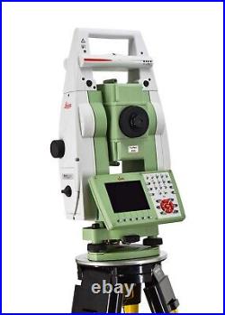
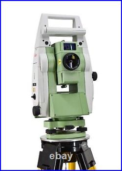
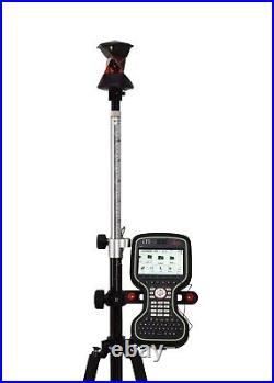
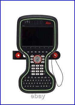
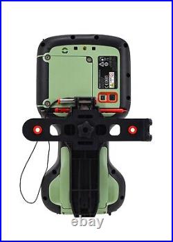
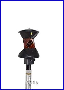
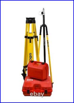
Leica TS15 P 3 R400 Robotic Total Station Kit. This kit includes a Leica TS15 Total Station which is primarily used in the Surveying Trade. The TS15 is one of the total stations in Leica’s line of TS-Series total stations. This kit also includes a Leica CS20 Data Collector with Captivate Software. To ensure only the best performance from our equipment, this Leica TS15 was recently serviced and calibrated at a Leica Service Center. Leica TS15 P 3 R400 Robotic Total Station. 3.5 OnBoard Screen w/ Leica Captivate Software. 1 – Leica RH16 LongLink Bluetooth Handle. Power Search, ATR, Guide Light Enabled. Accuracy: 5/32 in. Or 4.2 mm at 500 ft. 1 – Leica Single Bay Charger w/ Power Supply. 1 – Leica GRZ4 360° Prism. 2 – Leica Rechargeable Total Station Batteries. 1 – Leica Transport Case. Leica CS20 Data Collector. Leica Captivate Software Installed Version 7.51. Measure & Stakeout Enabled. 1 – Single Bay Battery Charger w/ Power Supply. 2 – Leica Rechargeable GEB334 CS20 Li-ion Batteries. 1 – CS20 Rod Bracket. New Seco Trimax Tripod. New Seco Carbon Fiber Robotic Pole New Seco Bipod. Condition: This item is in great working condition with a fresh calibration and service! This item is in the category “Business & Industrial\Test, Measurement & Inspection\Levels & Surveying Equipment\Total Stations & Accessories”. The seller is “4kequipment360″ and is located in this country: US. This item can be shipped to United States, Canada, Australia.
- Brand: Leica
- Model: TS15 P, CS20
- Product: Robotic Total Station, Data Collector
Michigan based company with a global presence. Offering New & Refurbished Total Stations, GPS / GNSS Base & Rovers, Radios, Antennas, Data Collectors, Grade & Pipe Lasers, Digital Levels, Magnetic Locators, Grade Control Systems, AgGPS Systems, Field Supplies, Accessories, Hand Tools & Safety Equipment! Leica TS15 P 3 R400 Robotic Imaging Total Station [ID- -L/T] Battery Pack Carrying Case. Leica TS15 P 3 R400 Robotic Imaging Total Station. Leica TS15 Robotic Imaging Total Station. Optimize your productivity with exact photo documentation of site conditions. With live streaming of the total station view, you always know what the total station sees. Measure all points without returning to the total station. Image Notes – Capture an image, screenshot or template, sketch on it and link it to any object in the database. Image Assisted Surveying – Simply tap on the display and the total station will turn and measure the desired target. TS15 uses years of experience to optimally combine the world’s best total station sensors: angles, distances, drives and the patented PowerSearch target recognition camera. Search – the unique PowerSearch fi nds your prism within seconds. Lock – stays locked onto your prism in the most demanding environments. Measure – PinPoint EDM seamlessly harmonizes with precise angle sensors to complete the measurement process. Add full GNSS functionality to your TS15 whenever you want and combine TPS and GNSS in the most efficient way. Use SmartStation for TPS setup without the need of control points, traverses and resections. Use SmartPole to save time with setup’On-the-fl y’ and measure parallel with TPS and GNSS for double productivity. 0.1” (0.1 mgon). 1.5” (0.5 mgon). Reflective tape (60 mm x 60 mm). 250 m (800 ft). Accuracy / Measurement Time. 1 mm + 1.5 ppm / typ. 3 mm + 1.5 ppm / typ. Distance Measurement (Any Surface). 400 m (1310 ft). 2 mm + 2 ppm / typ. >10000 m (>32800 ft). Long-range: 5 mm + 2 ppm / typ. System analyzer based on phase shift measurement (coaxial, visible red laser). Laser dot size (Non-Prism). At 30 m: 7 mm x 10 mm, at 50 m: 8 mm x 20 mm. Operating system & Processor. Windows CE 6.0. MX31 533 MHz ARM Core. 1° 30′ (1.66 gon) / 2.7 m at 100 m. 1.7 m to infinity. 640 x 480 pixel (VGA) color TFT with LED backlight and touch screen. 36 keys (12 function keys, 12 alphanumeric keys), illumination. Face I standard / face II optional. Memory, Ports & Communication. Internal memory / Memory devices. 1 GB (nonvolatile NAND Flash) / SD card, USB stick. RS232, Bluetooth® Wireless-Technology, USB mini AB OTG. Sensitivity of Circular level. 6′ / 2 mm. Centering accuracy of Laser plummet. 1.5 mm at 1.5 m. 1 horizontal / 1 vertical. 5 – 8 h (GEB221). 7.4 V / 4.4 Ah. Weight of Total Station. 4.9 – 5.5 kg / 0.2 kg / 0.8 kg. Height / Width / Length. 345 mm / 226 mm / 203 mm. Working / Storage temperature range. 20° C to +50° C / -40° C to +70° C. Dust / water (IEC 60529) / Humidity. IP55 / 95%, non-condensing. (Certain orders may take longer for processing due to comprehensive final service inspections). Sell Smarter with Kyozou. Inventory and Ecommerce Management. This item is in the category “Business & Industrial\Test, Measurement & Inspection\Levels & Surveying Equipment\Total Stations & Accessories”. The seller is “gps_land_survey_and_mapping_equipment” and is located in this country: US. This item can be shipped worldwide.
- Brand: Leica
- MPN: TS15
- Model: TS15 P R400
Michigan based company with a global presence. Offering New & Refurbished Total Stations, GPS / GNSS Base & Rovers, Radios, Antennas, Data Collectors, Grade & Pipe Lasers, Digital Levels, Magnetic Locators, Grade Control Systems, AgGPS Systems, Field Supplies, Accessories, Hand Tools & Safety Equipment! Leica TS15 P 5 R400 Robotic Imaging Total Station [ID- -L/T] Battery Pack Carrying Case. Leica TS15 P 5 R400 Robotic Imaging Total Station. Leica TS15 Robotic Imaging Total Station. Optimize your productivity with exact photo documentation of site conditions. With live streaming of the total station view, you always know what the total station sees. Measure all points without returning to the total station. Image Notes – Capture an image, screenshot or template, sketch on it and link it to any object in the database. Image Assisted Surveying – Simply tap on the display and the total station will turn and measure the desired target. TS15 uses years of experience to optimally combine the world’s best total station sensors: angles, distances, drives and the patented PowerSearch target recognition camera. Search – the unique PowerSearch fi nds your prism within seconds. Lock – stays locked onto your prism in the most demanding environments. Measure – PinPoint EDM seamlessly harmonizes with precise angle sensors to complete the measurement process. Add full GNSS functionality to your TS15 whenever you want and combine TPS and GNSS in the most efficient way. Use SmartStation for TPS setup without the need of control points, traverses and resections. Use SmartPole to save time with setup’On-the-fl y’ and measure parallel with TPS and GNSS for double productivity. 5 (1.5 mgon). 0.1” (0.1 mgon). 1.5” (0.5 mgon). Reflective tape (60 mm x 60 mm). 250 m (800 ft). Accuracy / Measurement Time. 1 mm + 1.5 ppm / typ. 3 mm + 1.5 ppm / typ. Distance Measurement (Any Surface). 400 m (1310 ft). 2 mm + 2 ppm / typ. >10000 m (>32800 ft). Long-range: 5 mm + 2 ppm / typ. System analyzer based on phase shift measurement (coaxial, visible red laser). Laser dot size (Non-Prism). At 30 m: 7 mm x 10 mm, at 50 m: 8 mm x 20 mm. Operating system & Processor. Windows CE 6.0. MX31 533 MHz ARM Core. 1° 30′ (1.66 gon) / 2.7 m at 100 m. 1.7 m to infinity. 640 x 480 pixel (VGA) color TFT with LED backlight and touch screen. 36 keys (12 function keys, 12 alphanumeric keys), illumination. Face I standard / face II optional. Memory, Ports & Communication. Internal memory / Memory devices. 1 GB (nonvolatile NAND Flash) / SD card, USB stick. RS232, Bluetooth® Wireless-Technology, USB mini AB OTG. Sensitivity of Circular level. 6′ / 2 mm. Centering accuracy of Laser plummet. 1.5 mm at 1.5 m. 1 horizontal / 1 vertical. 5 – 8 h (GEB221). 7.4 V / 4.4 Ah. Weight of Total Station. 4.9 – 5.5 kg / 0.2 kg / 0.8 kg. Height / Width / Length. 345 mm / 226 mm / 203 mm. Working / Storage temperature range. 20° C to +50° C / -40° C to +70° C. Dust / water (IEC 60529) / Humidity. IP55 / 95%, non-condensing. (Certain orders may take longer for processing due to comprehensive final service inspections). Sell Smarter with Kyozou. Inventory and Ecommerce Management. This item is in the category “Business & Industrial\Test, Measurement & Inspection\Levels & Surveying Equipment\Total Stations & Accessories”. The seller is “gps_land_survey_and_mapping_equipment” and is located in this country: US. This item can be shipped worldwide.
- Brand: Leica
- MPN: TS15
- Model: TS15 P R400
Leica robotic TCP 1201+ powerserch. This item is in full working order and good condition. This machine is 1. This machine is not a reflectorless model like TCRP 1201 or TCRP 1205. Calibration certificate just done. 2 weeks to test it. Radio modem RH15. GKL 221 multi charger. CS15 holder and clamp. 4 x batteries. Pole to be added only upon collection. This item is in the category “Business, Office & Industrial\Test, Measurement & Inspection\Levels & Surveying Equipment\Other Surveying Equipment”. The seller is “golab5″ and is located in this country: GB. This item can be shipped to United Kingdom, Canada, Japan, New Zealand, Indonesia, Malaysia, Singapore, South Korea, Taiwan, Brunei Darussalam, Gibraltar, Iceland, Oman, Philippines, Qatar.
- Non-Domestic Product: No
- Brand: Leica
- Custom Bundle: No
- Modified Item: No
Leica TS15 P 3 R400 Robotic Total Station Kit. This kit includes a Leica TS15 Total Station which is primarily used in the Surveying Trade. The TS15 is one of the total stations in Leica’s line of TS-Series total stations. This kit includes a Leica CS20 Data Collector with Captivate Software. To ensure only the best performance from our equipment, this Lecia TS15 was recently serviced and calibrated at a Leica Service Center. Leica TS15 P 3 R400 Robotic Total Station. 3.5 OnBoard Screen w/ Leica Captivate Software. 1 – Leica RH16 LongLink Bluetooth Handle. Power Search, ATR, Guide Light Enabled. Accuracy: 5 cm at 500 ft. 1 – Leica Single Bay Charger w/ Power Supply. 1 – Leica GRZ4 360° Prism. 2 – Leica Rechargeable Total Station Batteries. 1 – Leica Transport Case. Leica CS20 Data Collector. Leica Captivate Software Installed. Measure & Stakeout Enabled. 1 – Single Bay Battery Charger w/ Power Supply. 2 – Leica Rechargeable GEB311 CS20 Li-ion Batteries. 1 – CS20 Rod Bracket. New Seco Trimax Tripod. New Seco Carbon Fiber Robotic Pole New Seco Bipod. Condition: This item is in great working condition with a fresh calibration and service! This item is in the category “Business & Industrial\Test, Measurement & Inspection\Levels & Surveying Equipment\Total Stations & Accessories”. The seller is “4kequipment360″ and is located in this country: US. This item can be shipped to United States, Canada, Australia.
- Brand: Leica
- Model: CS20, TS15
- Product: Robotic Total Station, Data Collector
Leica TS12 P 5 R400 with Power Search Total Station & CS15 Controller fully serviced and calibrated. Leica TS12 P 5? R400 Robotic Total Station. Leica CS15 3.5G controller. Leica GH63 pole holder. Leica GKL221 Multi-bay charger. Leica GRZ4 360 prism. Leica sun shade and rain cover. Leica GHM007 Meter and holder. Valid Calibration certificate till October 2022. Please check photos for condition, local inspection is also welcome. A Leica GST20-09 wooden tripod and a Leica GLS11 pole will be offered with the kit for collection only. This item is in the category “Business, Office & Industrial\Test, Measurement & Inspection\Levels & Surveying Equipment\Total Stations & Accessories”. The seller is “geosystems_sales” and is located in this country: GB. This item can be shipped to North, South, or Latin America, all countries in Europe, Japan, Australia.
- Brand: leica
- Product: Total Station
Michigan based company with a global presence. Offering New & Refurbished Total Stations, GPS / GNSS Base & Rovers, Radios, Antennas, Data Collectors, Grade & Pipe Lasers, Digital Levels, Magnetic Locators, Grade Control Systems, AgGPS Systems, Field Supplies, Accessories, Hand Tools & Safety Equipment! Leica TCRP1205+R400 5 Motorized Auto Target Total Station ID- X3386-L/T. Factory Calibrated Leica GKL211 Battery Charger Battery Pack AC Adapter/Charger DC Car Charger User Manual On CD Hard Carrying Case. Leica TCRP1205+R400 5 Motorized Auto Target Total Station – Calibrated By A Leica Service Center. Leica TRCP1205+R400 Specifications Table. Leica TRCP1205+R400 5 Motorized Auto Target Total Station. Measurements of high angles precise and accurate measurements long distance, supported for a quick and perfect systems Automatic aims at the prism. You will work faster, more rigorously and under less pressure. Intuitive interface, powerful database routines and programs loaded in total station: simplicity and identical in TPS and GPS. Easy viewing of entire surveyed area and immediate access to all measured data. You see exactly what you’ve done and what you’ve still to do. Configure and program the TPS1200 as you wish, for their applications, and export the infomation needed. TPS1200 total stations cover a range of models and options. Select the ones that suit you best. Use TPS1200 For Everything. Use TPS1200 total stations for surveying, engineering, stakeout, topo, monitoring etc. Combine them with GNSS. Benefit from huge productivity of System 1200. Find the prism automatically. PowerSearch finds reflectors within seconds no matter where they are. With PowerSearch activated, TPS1200 rotates and sends out a vertical laser fan. As soon as the fan strikes a prism TPS1200 stops rotating, ATR takes over and fine points – all fully automatically. Accuracy (standard deviation ISO 17123- 3). 5 (1.5 mgon). 0.1 (0.5 mgon). Working range: 4′ (0.07 gon) Setting accuracy: 1.5 (0.5 mgon) Method: centralized dual axis compensator. Distance measurement (IR) (Light haze, visibility about 20 km; or moderate sunlight, slight heat shimmer). 3000 m (10000 ft). 3 standard prisms (GPR1). 4500 m (14700 ft). 1500 m (5000 ft). 360° mini prism (GRZ101). 800 m (2600 ft). 1200 m (4000 ft). Reflector tape (60 mm x 60mm). 250 m (800 ft). Accuracy (standard deviation ISO 17123-4) / Measure time. Standard mode: 2 mm + 2 ppm / typ. 1.5 s Fast mode: 5 mm + 2 ppm / typ. 0.8 s Tracking mode: 5 mm + 2 ppm / typ. Principle: Phase measurement Type: Coaxial, infrared laser Carrier wave: 780 nm Measuring system: Special frequency system basis 100 MHz = 1.5 m. PinPoint reflectorless distance measurement (RL) (Object in shade, or sky overcast). 400m / 200m (Kodak Gray Card: 90% reflective / 18% / 18% reflective). Shortest / Longest measureable distanec: 1.5m / 1000m-7500m. Accuracy / Measurement Time (standard deviation, ISO 17123-4) (object in shade, sky overcast). 500m: 4mm + 2ppm / typ. 12s Long Range: 5mm + 2ppm / typ. At 30m: approx 7mm x 10mm At 50m: approx 8mm x 20mm. PinPoint R400: system analyzer (coaxial, visible red laser). Automatic Target Recognition (ATR). Range ATR / Lock Mode. Standard prism (GPR1): 1000 m (3300 ft) / 800 m (2600 ft) 360° prism (GRZ4): 600 m (2000 ft) / 500 m (1600 ft) 360° mini prism (GRZ101): 350 m (1150 ft) / 300 m (1000 ft) Mini prism (GMP101): 500 m (1600 ft) / 400 m (1300 ft) Reflector tape (60 mm x 60mm): 55 m (175ft) / – Shortest measuring distance: 1.5 m / 5 m. Accuracy / Measure time. Maximum speed (LOCK mode). Tangential (standard mode): 5 m / s at 20 m, 25 m / s at 100 m Radial (tracking mode): 5 m / s. Search time in field of view: Typ. 3 s Field of view: 1° 30′ (1.66 gon) Definable search windows: Yes. Principle: Digital image processing Type: infrared laser. Standard prism (GPR1): 200 m (650 ft) 360° prism (GRZ4): 200 m (650 ft) (perfectly aligned to the instrument) Mini prism (GMP101): 100 m (330 ft) Shortest measuring distance: 1.5 m. Principle: Digital signal processing Type: infrared laser. Working range: 5 m – 150 m. Positioning accuracy: 5 cm at 100 m. Magnification: 30 x Free objective aperture: 40 mm Field of view: 1°30′ (1.66 gon) / 2.7 m at 100 m Focusing range: 1.7 m to infinity. Display: ¼ VGA (320240 pixels), graphic LCD, illumination, touch screen (optional) Keyboard: 34 keys (12 function keys, 12 alphanumeric keys), illumination Angle display: 360°’ , 360° decimal, 400 gon, 6400 mil, V% Distance display: meter, int. Ft/inch, US ft, US ft/inch Position: face I standard / face II optional. Internal memory: 32 MB (optional) Memory card: CompactFlash cards (32 MB and 256 MB) Number of data records: 1750 / MB Interface: RS232, BluetoothTM (optional). Centering accuracy: 1.5 mm at 1.5 m (deviation from plumb line) Laser dot diameter: 2.5 mm at 1.5 m. Number of drives: 1 horizontal / 1 vertical. Sensitivity: 6′ / 2 mm. Type: Lithium-Ion Voltage: 7.4 V Capacity: 3.8 Ah Operating time: Typ. 6 – 8 h. Tilting axis height: 196 mm above tribrach Height: 345 mm Width: 226 mm Length: 203 mm. Total station: 4.8 – 5.5 kg (depending on type and options) Battery (GEB221): 0.2 kg Tribrach (GDF121): 0.8 kg. Working temperature range: -20°C to +50°C Storage temperature range: -40°C to +70°C Dust / water (IEC 60529): IP54 Humidity: 95%, non-condensing. (Certain orders may take longer for processing due to comprehensive final service inspections). Sell Smarter with Kyozou. Inventory and Ecommerce Management. This item is in the category “Business & Industrial\Test, Measurement & Inspection\Levels & Surveying Equipment\Total Stations & Accessories”. The seller is “gps_land_survey_and_mapping_equipment” and is located in this country: US. This item can be shipped worldwide.
- Brand: Leica
- MPN: TCRP1205+R400
- Model: TCRP1205+R400